EOS-05 (Earth Observation Satellite-05): Eye in the Sky
Context:
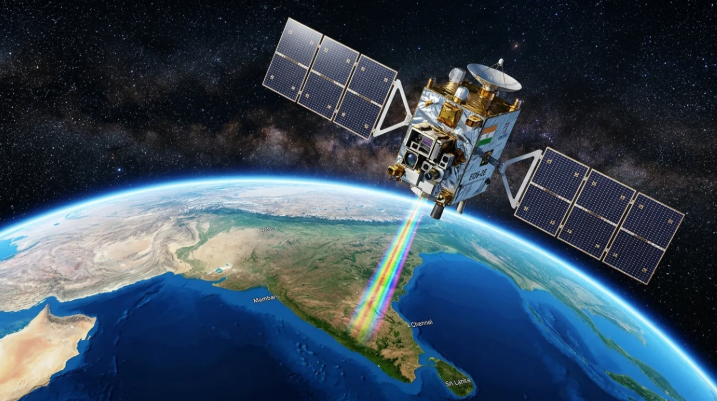
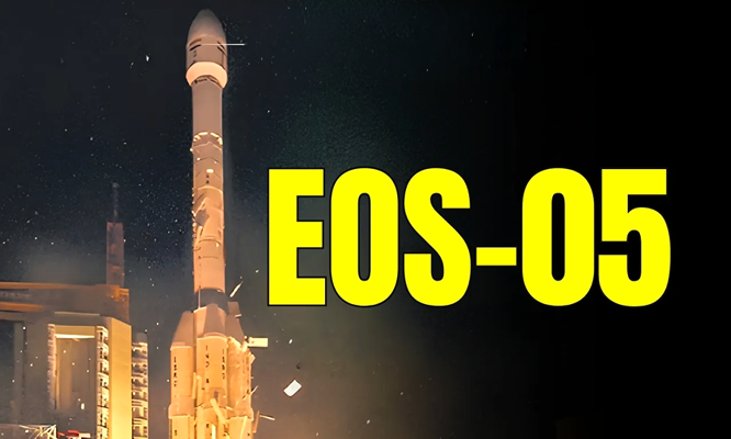
The Indian Space Research Organisation (ISRO) successfully launched the Earth Observation Satellite-05 (EOS-05) aboard the GSLV-F17 launch vehicle from the Satish Dhawan Space Centre, Sriharikota. This mission is a significant achievement in the direction of expanding India’s Earth-observation capabilities. EOS-05 has been specifically designed for imaging from a Geosynchronous Orbit, enabling continuous monitoring of a large area.
What is EOS-05?
EOS-05 is an advanced Earth observation satellite developed with the objective of providing continuous and near-real-time imagery of the Earth’s surface from space. It can be regarded as an “Eye in the Sky”, as it will be capable of monitoring various changes occurring on Earth from space.
Weighing approximately 2,367 kilograms, EOS-05 is equipped with advanced optical and infrared imaging payloads. The satellite provides an important capability for continuous monitoring of large areas of the Earth’s surface.
Technical Aspect:
EOS-05 was placed into space using the GSLV-F17 launch vehicle. GSLV is a three-stage launch vehicle of India. Its first stage uses a solid core along with four liquid strap-on boosters, followed by a liquid-propellant second stage and an indigenous Cryogenic Upper Stage (CUS) as the third stage.
GSLV-F17 placed EOS-05 into a Sub-Geosynchronous Transfer Orbit (Sub-GTO) rather than directly into its final orbit. Thereafter, the satellite will use its onboard Liquid Apogee Motor (LAM) to perform several orbit-raising manoeuvres and reach its designated orbital position.
Special Feature of EOS-05in Geosynchronous Orbit:
Conventional Earth observation satellites generally operate in Low Earth Orbit (LEO). These satellites capture images while passing over a particular region and then move onward. Therefore, there may be a gap of several hours or days before the next image of a particular region becomes available.
In contrast, a satellite positioned in a Geosynchronous Orbit operates synchronously with the rotation of the Earth. From an altitude of approximately 36,000 kilometres, it can continuously observe a large area. This capability distinguishes EOS-05 from conventional LEO-based imaging satellites.
Significance:
The most important aspect of EOS-05 is its continuous monitoring capability. During rapidly changing weather events and natural disasters, obtaining continuous information about the situation is extremely important.
Events such as cyclones, cloudbursts, flash floods and forest fires can change their nature very rapidly. In such situations, frequently updated satellite imagery can help in understanding the actual situation in affected areas and in making timely decisions for relief and rescue operations.
In addition, information obtained through Earth observation can also be useful in areas such as agriculture, environmental monitoring, water-resource management, land-use planning and regional planning. Thus, EOS-05 helps connect space technology directly with ground-level requirements.
Challenges and Limitations:
The development, launch and operation of advanced space systems such as EOS-05 require high technical expertise and adequate resources. Reaching the designated orbit also involves completing complex orbit-raising procedures.
Furthermore, continuous imaging generates a large volume of data. The storage, processing, analysis and timely utilisation of this data itself constitute a significant challenge. Optical imaging can also be affected by clouds and other atmospheric conditions.
Conclusion: EOS-05 is an important example of India’s growing space capabilities and advancement in Earth-observation technology. Its most significant feature is its ability to continuously monitor a large area from a Geosynchronous Orbit. At a time when natural disasters and weather-related events are changing rapidly, satellite-based information that is available continuously and in a timely manner becomes extremely important for disaster management and various developmental activities. EOS-05 strengthens India’s capability to use information obtained from space for better decision-making on Earth. In reality, it is not merely a satellite launched into space, but an expansion of India’s ability to understand the Earth from space and respond to changing conditions in a timely manner.