
SYLLABUS
GS-3: Achievements of Indians in science & technology; indigenization of technology and developing new technology.
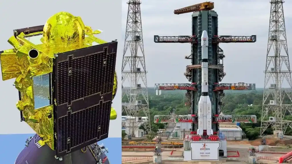
Context: The Indian Space Research Organisation (ISRO) successfully launched the NVS-03 navigation satellite aboard GSLV-F18 on October 30, 2026, to strengthen India’s indigenous satellite navigation system, NavIC.
More on the News
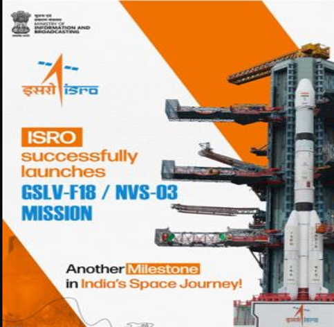
- The GSLV-F18 lifted off from the Second Launch Pad at Satish Dhawan Space Centre (SDSC-SHAR), Sriharikota, at 11:51 PM IST.
- Approximately 18 minutes after liftoff, the 2,250-kg satellite was successfully injected into its intended Geosynchronous Transfer Orbit (GTO).
- It was the 20th flight of GSLV and achieved the shortest turnaround time of 56 days between two successive GSLV missions.
About the NVS-03 Satellite
- NVS-03 is the third satellite in ISRO’s second-generation Navigation Satellite Series, developed to ensure continuity and improve the reliability of NavIC.
- It is the fourth satellite launched under the broader Indian Regional Navigation Satellite System (IRNSS) programme, according to the ISRO Chairman.
- Launch Vehicle: GSLV-F18.
- Satellite Weight: Approximately 2,250 kg.
- Mission Life: 12 years.
- Initial Orbit: Geosynchronous Transfer Orbit (GTO).
- Key Payloads:
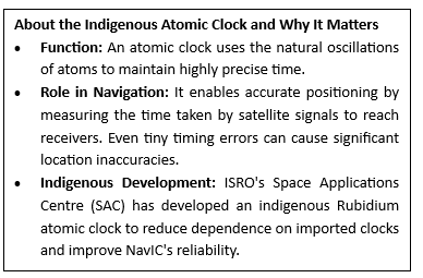
- Indigenous Rubidium Atomic Clock along with procured atomic clocks.
- L1 navigation signal in addition to the existing L5 and S-band signals.
- Following its injection into GTO, the satellite will undergo orbit-raising manoeuvres to reach its final operational orbit.
- Its solar panels have been deployed, and the satellite’s initial health status was reported to be good.
How NVS-03 Helps NavIC
- Restores Minimum Operational Configuration: Brings the number of operational navigation satellites to four, the minimum required for basic standalone positioning services.
- Improves Navigation Reliability: Strengthens the continuity and availability of Positioning, Navigation and Timing (PNT) services.
- Introduces L1 Frequency: Improves compatibility with commonly used navigation chipsets in smartphones, vehicles and wearable devices.
- Strengthens Indigenous Timing: Carries India’s third indigenous atomic clock into orbit, while two indigenous clocks were already functioning in orbit.
- Supports Wider Applications: Enables navigation and tracking applications for trains, vehicles and shipping vessels, along with other civilian and strategic uses.
Significance of NavIC
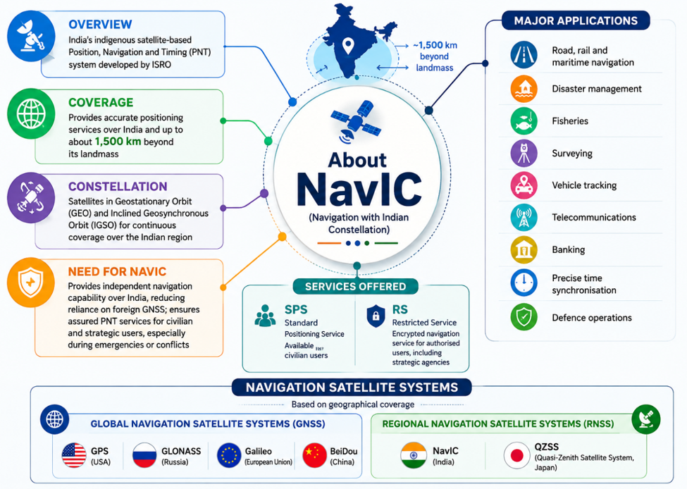
- Strategic Sovereignty: The 1999 Kargil War exposed India’s dependence on foreign GPS information, highlighting the need for an indigenous navigation system.
- National Security: Provides independent navigation services to authorised defence users during conflicts and emergencies.
- Critical National Infrastructure: Supports train and vehicle tracking, fishing vessels, disaster response and dissemination of Indian Standard Time (IST).
- Technological Self-Reliance: Strengthens indigenous navigation capabilities and supports timing services for telecommunications, financial services and power grids, advancing Atmanirbhar Bharat.
Challenges of NavIC
- Atomic Clock Failures: Failures of imported atomic clocks in first-generation satellites have reduced the constellation’s operational reliability.
- NVS-02 Mission Failure: In January 2025, NVS-02 failed to reach its final orbit due to a drive-signal failure in the oxidiser-line pyrotechnic valve.
- Limited Standalone Capability: The IRNSS-1F atomic clock stopped working on March 13, 2026, leaving only three satellites available for PNT services, below the four-satellite minimum.
- Limited Civilian Adoption: Limited integration of NavIC-compatible chipsets in smartphones and other consumer devices restricts wider adoption.
Way Forward
- Accelerate Constellation Replenishment: Expedite NVS-04 and NVS-05 launches to strengthen NavIC’s satellite constellation.
- Strengthen Indigenous Technologies: Improve the reliability of indigenous atomic clocks, satellite payloads and onboard redundancy.
- Build a Resilient PNT Ecosystem: Promote multi-constellation GNSS interoperability while maintaining NavIC’s independent capabilities.
- Expand Civilian Adoption: Promote L1-compatible NavIC receivers in smartphones, vehicles, drones and critical infrastructure.