
Context:
The European Space Agency’s (ESA) new mission, known as the Biomass Mission, is scheduled to launch on April 29 embark on the Vega C rocket from Europe’s spaceport in French Guiana.
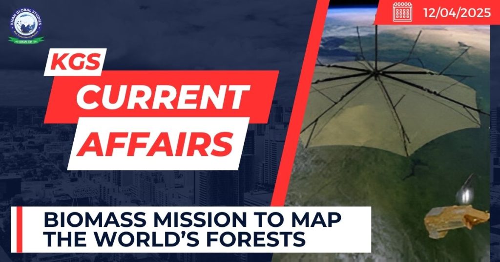
About the Biomass Mission
- It will be placed in a sun-synchronous orbit (SSO), a type of orbit in which satellites are in sync with the Sun, at an altitude of around 666 km.
- The Biomass is ESA’s seventh Earth Explorer mission, planned to be a five-year mission.
Aims:
- Advance understanding of the world’s forests and how they are changing.
- Reduce uncertainties in calculations of carbon stocks and fluxes on land.
- Provide new insight into the role forests play in the carbon cycle.
- Support global action to reduce deforestation and forest degradation.
The Mission will:
- Monitor sub-surface geological features in arid and semi-arid regions.
- Track the movement of ice sheets in Antarctica.
- Enable scientists to model terrain covered by dense forests.
Technology and Objectives of the Biomass Mission
Use of Synthetic Aperture Radar (SAR)
- The mission uses SAR, a satellite imaging technique that employs radar waves to map the Earth’s surface.
- It operates in the long-wave P-band frequency range, with a 70 cm wavelength—longer than other SAR systems.
- This allows the radar to penetrate dense forest canopies and gather data from the forest floor and branches.
Measurement of Forest Biomass and Carbon
- The P-band SAR will estimate the amount of forest biomass globally.
- Since approximately half of biomass is carbon, this enables accurate calculation of forest carbon content.
- Data will reveal how carbon levels in forests are changing over time.
First Satellite with P-band SAR
- This is the first satellite mission globally to carry a P-band SAR sensor.
- It features a large 12-meter antenna, which will be deployed in orbit to begin Earth observation.