
Context:
Union Minister Dr. Jitendra Singh informed about the latest version (2) of the Search and Rescue Aid Tool (SARAT) and its enhanced efficiency, response time, and success rates of Indian search and rescue agencies during operations.
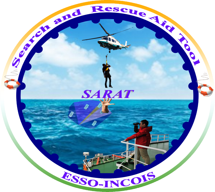
About SARAT
- Search and Rescue Aid Tool (SARAT) was developed by the Indian National Centre for Ocean Information Services (INCOIS), under the Ministry of Earth Sciences.
- It was launched in 2016 and has been used extensively by the Coast Guard in its marine search operations.
- It has ‘better accuracy and utility’ to aid the Indian Search and Rescue (SAR) agencies, in their operations at sea.
- Its application can simulate the probable search area of a range of objects lost at sea, including humans, when provided with the last known time and location of the lost object.
- It uses currents and winds from high-resolution models run on supercomputers or high-performance computers, allowing it to predict the search location for up to 10 days.
Features of SARAT:
- It can select from 60 types of missing objects, such as boats, life rafts, and aircraft.
- Users can specify a missing point via an interactive map or by inputting coastal location, distance, and bearing angle.
- The results are displayed on an interactive map and sent as a text message.
- Requests and responses are available in the local languages of coastal states, enabling fishermen to use them in distress situations.
- This tool is available as a mobile application for the users.
Key improvements in SARAT version 2:
- More Accurate Search Areas: The search region is now based on the Last Known Position (LKP) of the object, ensuring a more precise starting point compared to the previous version.
- Exportable Search Data & Enhanced Visualization: The tool provides digital search areas for easy integration with rescue maps, along with clearer visual outputs such as color-coded search regions, LKP markers, and particle trajectory visualizations.