Context:
Recently, INS Sarvekshak, the Indian Navy’s hydrographic survey vessel completed the final phase of a comprehensive hydrographic survey of Mauritius, covering over 25,000 square nautical miles.
- Under India’s SAGAR initiative, the Indian Navy’s survey ships have conducted joint surveys with foreign nations, covering 89,000 sq. km and producing 96 charts over the last five years.
- World Hydrography Day is observed on 21st June.
- The theme for 2024 –“Hydrographic Information – Enhancing Safety, Efficiency and Sustainability in Marine Activities”
Details of the Survey

- The hydrographic survey, conducted under the support of the Indian Navy, involved the collection of critical data required for the creation of new nautical charts.
- The new nautical chart will help Mauritius enhance its maritime infrastructure, resource management, and coastal development.
- The hydrographic survey was formally concluded with a reception ceremony onboard INS Sarvekshak, where the high-level handover of survey data to Mauritius President Dharambeer Gokhool.
What is a Hydrographic Survey?
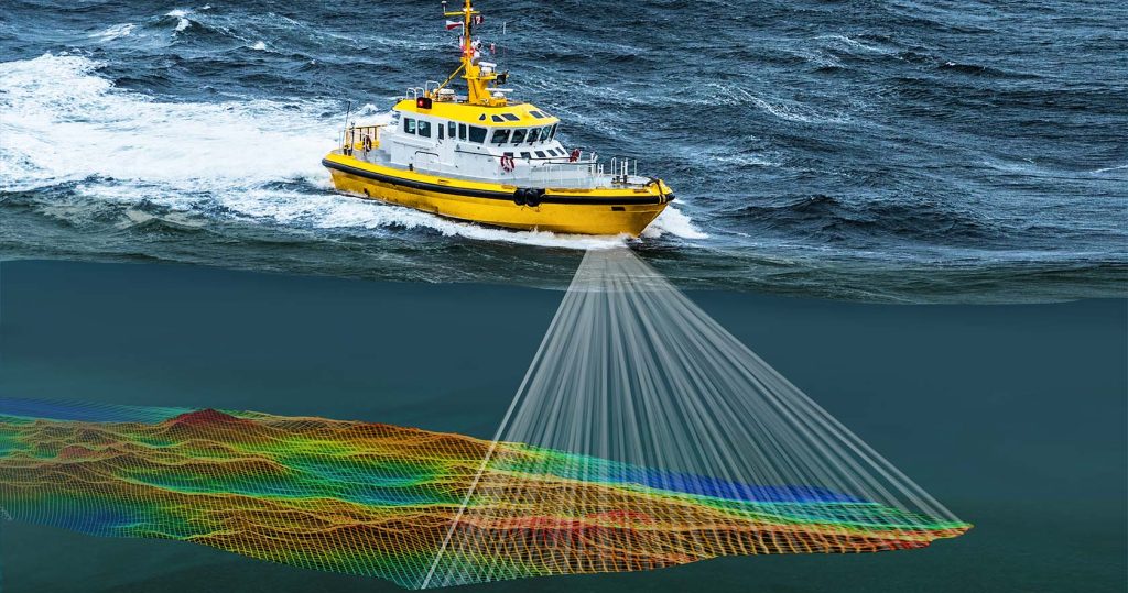
- Hydrography is the science that measures and describes the physical features of oceans, seas, coastal areas, lakes, and rivers.
- The Survey is a ‘mapping’ of an area of sea and surrounding coastal detail.
- It aims to ensure safe navigation and supports marine activities such as economic development, security, defense, scientific research, and environmental protection.
- The information from a survey enables a cartographer to portray a part of the Earth’s surface on a flat piece of paper and indicate by soundings, height and depth contours and spot heights, the various irregularities both above and below the sea surface.
- For a hydrographic survey, all the details of use to the mariner must be correctly described and positioned relative to each other and their positions located on the Earth’s surface.
About INS Sarvekshak
- It is a specialised survey ship of the Indian Navy, based at Kochi.
- It is fitted with state-of-the-art survey equipment like Deep Sea Multi beam echo sounder system, Side Scan Sonars, and a fully automated digital surveying and processing system.
- It carries an integral Chetak helicopter, which would be extensively utilized during the survey.
- It has undertaken surveys in the past few years in Sri Lanka, Mauritius, Seychelles, Kenya and Tanzania.

