
Context:
Recently, Minister of Road Transport announced that the government is planning to introduce a new highway toll collection system based on global navigation satellite system.
Key Highlights of the new proposed highway tolling system
- Global navigation satellite system, which also includes the United States Global Positioning System (GPS), is a type of navigation system that relies on satellites.
- It uses a network of many satellites to give more precise location and navigation details to Users around the world, offering better accuracy than GPS alone.
- It is proposed that the new system will involve fitting a tracking device called an On-Board Unit (OBU) inside vehicles.
These OBUs will use GAGAN, India’s satellite navigation system, with an accuracy of about 10 meters, to track the vehicle’s location.
- GAGAN is the acronym for GPS Aided GEO Augmented Navigation jointly developed by ISRO and Airport Authority of India.
- it uses a system of ground stations to provide necessary augmentations to the GPS standard positioning service (SPS) navigation signal.
- Coordinates of all national highways in the country will need to be recorded using digital image processing.
- Software will then determine the toll rates for each highway and calculate the toll amount based on the distance traveled by the vehicle.
- This toll amount will be deducted from a wallet linked to the OBU.
- Additionally, gantries equipped with CCTV cameras will be installed along highways for enforcement purposes.
- These CCTV capture images of vehicles’ high security registration plates and verify whether a vehicle is trying to avoid tolls by either removing the tracking device or traveling without an OBU onboard.
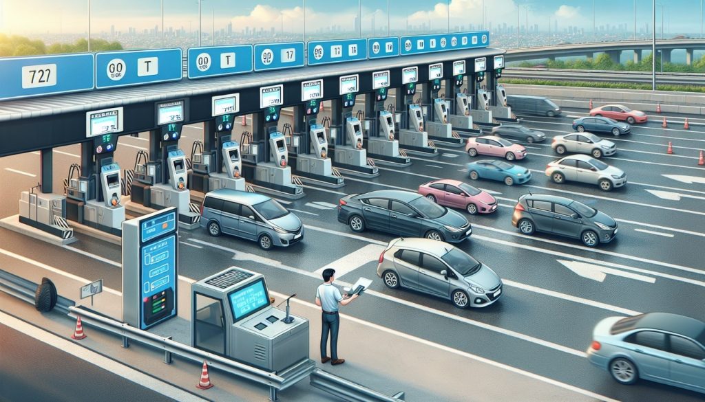
FASTags
- Introduced in 2016 using radio frequency identification.
- Compulsory from February 16, 2021.
- 98.9% of vehicles passing through national highway toll plazas being FASTag compliant by December 2023.
- Toll collection at national highway increased 1.5 times from ₹17,942 crore in 2016-2017 to ₹27,744 crore in 2020-2021.
Significance
- The aim of the technology is to enable users to pay tolls based actual distance travelled on a highway, known as pay-as-you-use.
- it will facilitate barrier-free movement.
- Global navigation satellite system offers lower operational costs compared to FASTags because it eliminates toll plazas and involves fewer entities in the toll collection process.
Challenges
- Recovering the toll becomes difficult if a road user doesn’t pay after completing a journey on a highway and the digital wallet linked to the OBU is empty as there are no physical barriers to stop non-compliant vehicles
- Other issues such as vehicle travels on a highway without an OBU device linked or intentionally turned off to avoid payment.
- There’s also the problem of vehicles using a car’s OBU on a truck to pay lower tolls.
Way forward
- To address these issues, highway-mounted Automatic Number-Plate Recognition (ANPR) systems need to be installed across India.
- In order to protect the privacy of Vehicle users, government has decided to use GAGAN satellite system rather than GPS that is in line with data protection act 2023.
- It needs to avoid widening of exemptions granted to government agencies that may facilitate increased state surveillance.