
Context:
The Union Cabinet approved the Digital Agriculture Mission for the creation of Digital Public Infrastructure (DPI) in the farm sector.
About Digital Agriculture Mission
- The Mission is a comprehensive plan to support digital agriculture by building Digital Public Infrastructure, conducting the Digital General Crop Estimation Survey (DGCES), and advancing IT projects with the help of the Central Government, State Governments, and academic institutions.
- The Digital Agriculture Mission is comparable to successful government’s flagship e-governance initiatives in other sectors like Aadhaar, DigiLocker, eSign, Unified Payments Interface (UPI), and electronic health records.
- It aims to create a comprehensive digital ecosystem to support and improve agricultural practices and productivity.
- It will be rolled out nationwide over the next two years, until 2025-26.
- It will include the Digital General Crop Estimation Survey (DGCES), a tech-based system for providing accurate estimates of agricultural production.
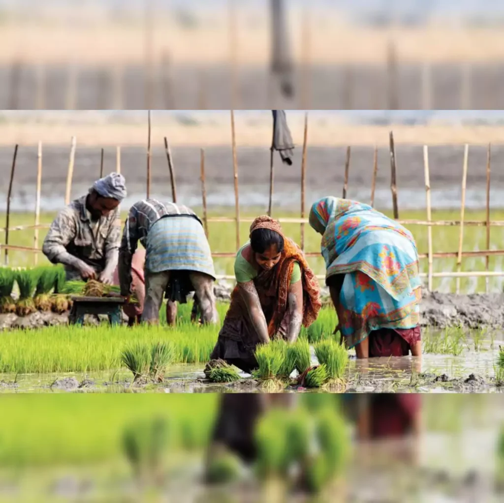
Digital Agriculture
- It involves using computers and electronic devices to enhance farming and agricultural activities.
- By integrating advanced technologies into a unified system, digital agriculture helps farmers and other stakeholders in the agriculture value chain to boost food production and efficiency.
Three Pillars of the Digital Agriculture Mission
Agri Stack: Includes Farmers’ Registry, Geo-referenced Village Maps, and Crop Sown Registry.
- Farmers’ Registry: Provides digital IDs for farmers linked to land, livestock, crops, and benefits. Pilots have been conducted, with plans to cover 11 crore farmers by 2026-27.
- Crop Sown Registry: Tracks crops planted through Digital Crop Surveys. A nationwide survey will be rolled out in the next two years.
- Geo-referenced Village Maps: Connects land records with geographic locations.
Krishi Decision Support System (DSS):
- Creates a geospatial system integrating data on crops, soil, weather, and water resources.
- Supports crop mapping, drought/flood monitoring, and yield assessment for crop insurance.
Soil Profile Maps:
- Detailed Soil Profile Maps (on a 1:10,000 scale) of about 142 million hectares of agricultural land are envisaged to be prepared.
- A soil profile inventory of 29 million hectares has already been completed.
Impact of the Digital Agriculture Mission
- Employment Creation: It will generate around 2.5 lakh jobs for local youth and “Krishi Sakhis” through digital crop surveys and data collection.
- Improved Crop Estimates: Enhanced data from digital surveys and remote sensing will refine crop production estimates, support diversification, and optimize irrigation.
- Advanced Decision Support: The Krishi Decision Support System will help monitor crop patterns, droughts, floods, and yield assessments, and improve value chains and advisory services.
- Boost to Agritech: It will likely stimulate growth in India’s agritech sector, contributing to a projected $25 billion market by 2025.
- Increased Efficiency and Transparency: Reliable data will streamline government services, such as Minimum Support Price (MSP) procurement, crop insurance, and credit card-linked loans, and support balanced fertilizer use.