
Syllabus
GS 3: Indigenisation of technology and developing new technology.
Context:
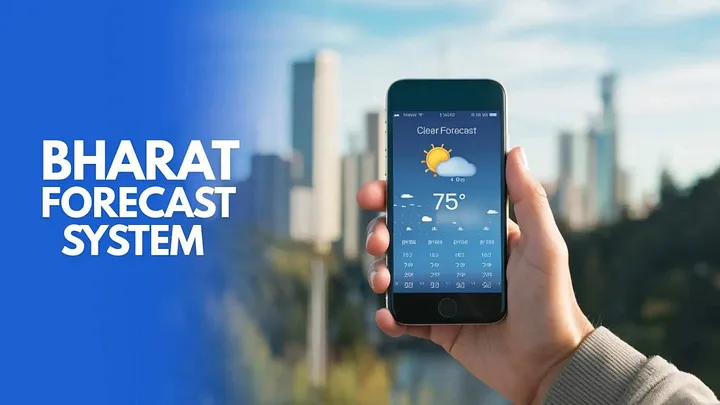
Recently, the India Meteorological Department (IMD) developed a new weather model the Bharat Forecast System (BFS) so as to boost forecasting capabilities that can predict weather for smaller geographic areas more accurately and in a localised manner.
Bharat Forecasting System (BFS)
- The new system places India among the global leaders in weather prediction.
- The Bharat Forecasting System (BFS) has been under testing since 2022.
- It was developed by the Indian Institute of Tropical Meteorology (IITM) in Pune, which is part of the Ministry of Earth Sciences (MoES).
- The ministry has spent close to ₹90 crore on a new supercomputer to power the platform.
- The plan is to double the size of India’s weather radar network in two years to feed the model with additional data.
Improved Grid Resolution for Greater Accuracy
- The existing weather models divide the globe into grid squares of 12 km.
- The new BFS model refines this to 6-km grids, resulting in a four-fold improvement in resolution.
- India is the only country in the world which is currently offering operational weather forecasts at a 6 km × 6 km resolution.
- Global forecast models like the EU’s Integrated Forecast System and the US’s Global Forecast System have a resolution between 9 km and 14 km.
- It means that BFS can zoom in on smaller regions and give localised reports for better rainfall prediction and flood preparation.
- Previously, forecasts were available at the block level up to five days in advance.
- With BFS, forecasts can now be issued at the panchayat level, covering smaller areas such as a few villages.
- This enhanced resolution allows more precise forecasting, capturing local weather variations that are often missed in block-level predictions.
- The tropical region weather changes are unpredictable in nature, and thus, higher resolution models are required to capture the spatial changes.
- Earlier, IMD used to issue one forecast for four villages. But with BFS it can issue separate forecasts for each of the four villages.
New Grid Structure for Tropical Regions
- Earlier weather models used equal-sized grids across the globe.
- The Bharat Forecast System is based on the advanced ‘Triangular Cubic Octahedral Grid model’, which enables real-time modelling.
- The Triangular Cubic Octahedral Grid model has demonstrated a 30% improvement in forecasting extreme rainfall events and a 64% enhancement in predictions within core monsoon zones.
- This change improves the model’s relevance and accuracy for regions like India.
- The data from a network of 40 Doppler Weather Radars (a system of high-resolution weather monitoring stations) from across the country will be used to run the BFS model.
- The number of Doppler radars will gradually rise to 100, enabling the weather office to issue nowcasts—short-term weather forecasts for the next two hours—nationwide.
High-Performance Computing Infrastructure
- The improved forecasting capability is supported by high-performance computing systems:
- Supercomputer ‘Arka’ at Indian Institute of Tropical Meteorology (IITM), Pune:
- 11.77 Peta FLOPS of computing power
- Supercomputer ‘Arka’ at Indian Institute of Tropical Meteorology (IITM), Pune:
- A peta-flop is one quadrillion floating-point operations per second.
- 33 Petabytes of storage
- ‘Arunika’ at the National Centre for Medium Range Weather Forecasting (NCMRWF), Delhi:
- 8.24 Peta FLOPS of computing power
- 24 Petabytes of storage
- These systems significantly enhance the capacity to process high-resolution weather data in real time.