SYLLABUS
GS-3: Achievements of Indians in science & technology; indigenization of technology and developing new technology and disaster management.
Context:
India’s indigenously developed Bharat Forecast System (BharatFS) is now operational, significantly enhancing the country’s real-time weather forecasting capability.
About the Bharat Forecasting System (BharatFS)
BharatFS is India’s own high-resolution numerical weather prediction model, developed by
India Meteorological Department (IMD), delivering high-accuracy forecasts at an ultra-fine spatial resolution of 6 kilometers.
BharatFS aims to boost forecasting capabilities that can predict weather for smaller geographic areas more accurately and in a localised manner.
It is powered by the advanced Triangular Cubic Octahedral (TCo) dynamical grid, enabling real-time weather forecasts, which delivers,
India Meteorological Department (IMD)
- The Government of India established the IMD in 1875 after a series of catastrophic events, such as a tropical cyclone that struck Calcutta in 1864, then monsoon failures in 1866 and 1871.
- The first Director General of Observatories was Sir John Eliot, who was appointed in 1889.
- IMD is headquartered in New Delhi.
- IMD became a member of the World Meteorological Organisation in 1949.
- IMD is under the administrative control of the Ministry of Earth Sciences (MoES).
- 30% improvement in forecasting extreme rainfall events.
- 64% enhancement in prediction across critical zones.
- Greater accuracy in real-time alerts for agriculture, disaster preparedness, aviation and public safety.
Powered by supercomputers Arka (IITM-Pune) and Arunika (NCMRWF-Noida) for real-time weather prediction by reducing the runtime from 12 hours to just 3–6 hours.
The BharatFS was developed with the objective of generating forecasts at the cluster of panchayats level and improving the prediction of extremes.
BharatFS is developed by a team of scientists from Indian institutions like IITM-Pune, with support from the National Centre for Medium Range Weather Forecasting NCMRWF-Noida and the India Meteorological Department (IMD).
The plan is to double the size of India’s weather radar network in two years to feed the model with additional data.
It offers a spatial resolution of 6km x 6km, making it the first weather model with such high resolution.
Significance of the Bharat forecast system
- Localised Weather Insights: BharatFS enables panchayat-level forecasting, allowing farmers to make informed decisions about sowing, irrigation, and harvesting.
- Technological Self-Reliance: Developed indigenously, BFS reflects India’s growing autonomy in climate science, reducing dependence on foreign models.
- Faster Forecast Delivery: It is backed by supercomputing infrastructure, BharatFS significantly reduces forecast processing time, enabling quicker dissemination of alerts.
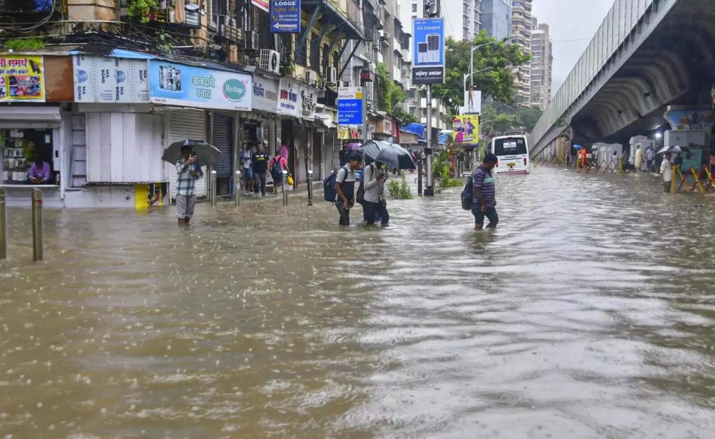
- Disaster Preparedness: The skill of predicting the core monsoon region rainfall, with a 30% improvement in the accuracy for the forecasting of extreme rainfall events, is crucial for faster and targeted disaster response, increasing the disaster preparedness of our country.
- Regional Leadership: BharatFS has enabled India to upgrade its meteorological services and support neighboring countries, reinforcing regional leadership and self-reliance.