Context:
TerrAqua UAV Solutions Private Limited, a startup incubated at the Startup Incubation and Innovation Centre (SIIC), IIT Kanpur has launched a sophisticated urban flood disaster response system.
More on News:
- This initiative is backed by NTT DATA, a global leader in digital and IT services, through its Corporate Social Responsibility (CSR) program, marking a major stride toward climate-resilient urban planning.
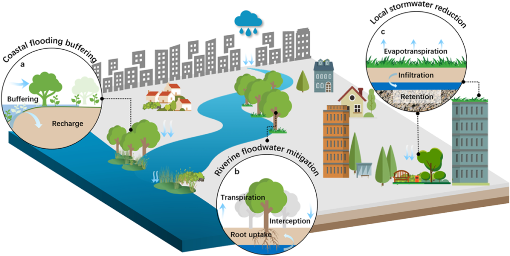
- The project centers on a Web-GIS platform that combines high-resolution data from drone-based aerial surveys and satellite remote sensing.
- This integrated system facilitates accurate flood mapping, inundation modeling, and assessments of population impact, providing decision-makers with critical, actionable insights.
- The pilot phase focused on 24 flood-prone villages near the Ganga Barrage, gathering detailed data essential for proactive disaster preparedness and effective emergency response.
- It is expected to bring significant benefits to the region by leveraging both drone and satellite technologies to improve flood response capabilities.
- This system enables early detection of potential flooding, supporting timely interventions that can help mitigate widespread damage.
- The platform delivers geospatial intelligence for real-time flood response, making critical data easily accessible when it matters most.
- Through collaboration with NTT DATA, a scalable and adaptive flood management framework has been developed, seamlessly integrating UAV and satellite data into an intuitive, user-friendly decision-support system.
- The initiative reflects a powerful academia-industry partnership, providing communities and governments with innovative tools for sustainable, climate-resilient urban planning.